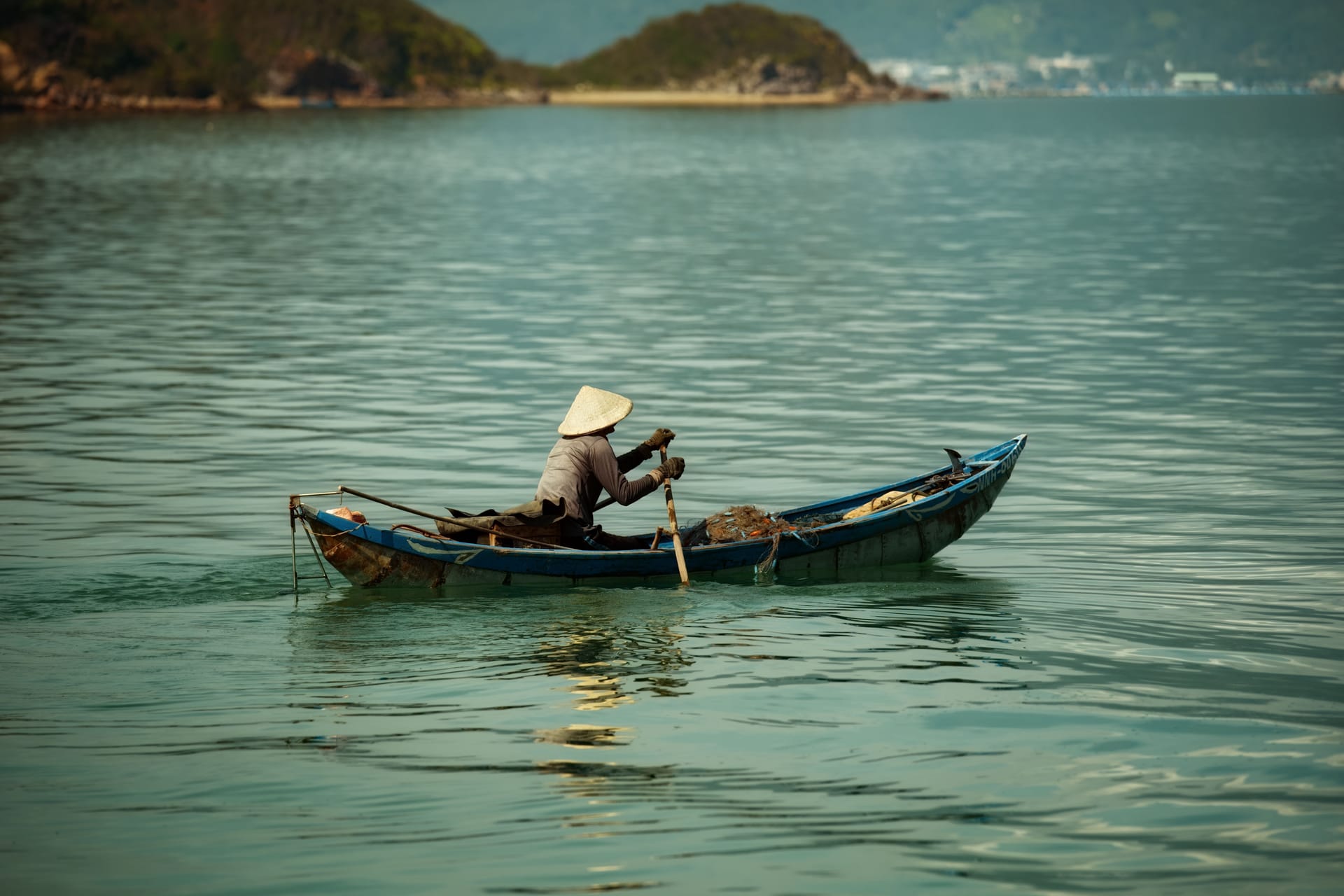
Two weeks on Rote and you see the beaches near Nemberala, take the ferry back to Kupang, and leave thinking you’ve done the island. The islands around Rote never make it onto that itinerary. They sit just off the edge of the map you were handed, and they open up only when your calendar stops counting in days. Reaching them costs time more than cash. A crossing you can lose three days to, one that might not run at all, is only worth attempting when you have months on the island rather than a fortnight. If you’re here for a long stay, working remotely or settling in for good, time is exactly what you’ve got. Here is what it buys, and what patience it takes to spend.
What “the islands around Rote” actually means
Rote sits at the western end of a scattered group of islands strung across the Savu Sea, the water between Timor, Sumba and Flores. To the south lie open ocean and the two small islands that mark Indonesia’s edge. To the west and northwest are Savu and its neighbours, a separate world both administratively and culturally.
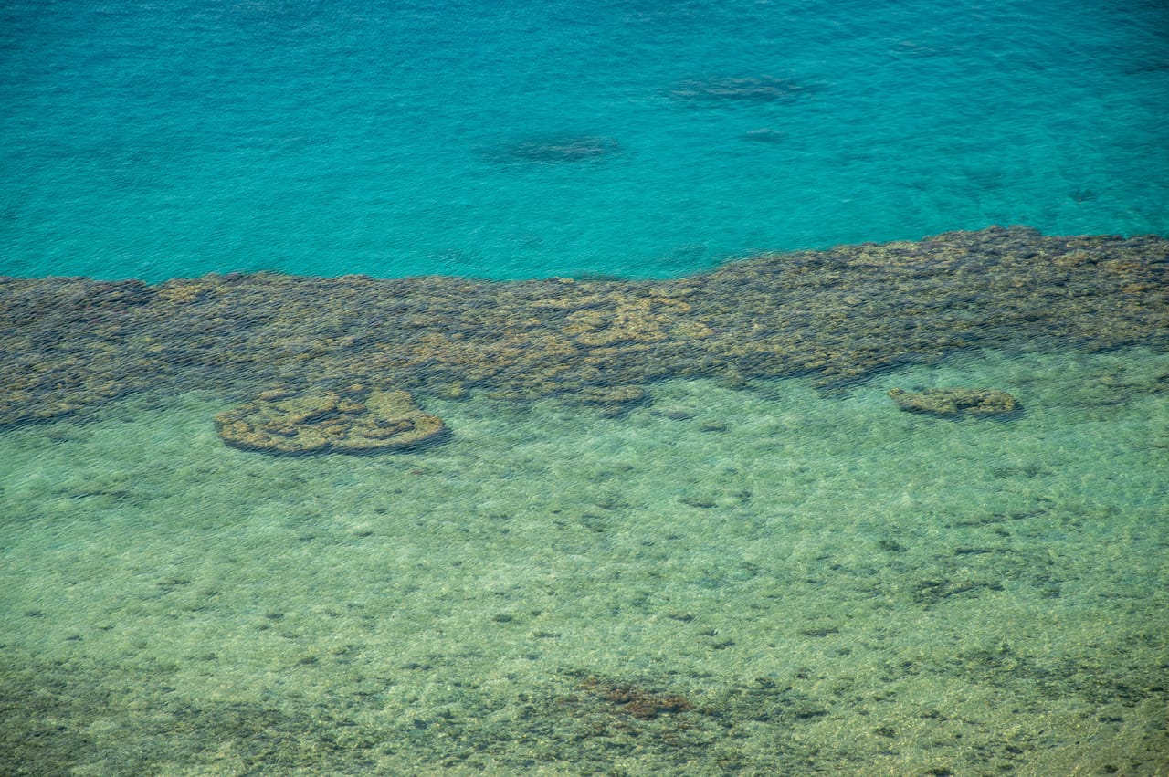
To the north, back toward the mainland, run the islands that shadow the Kupang crossing. All of it belongs to East Nusa Tenggara, the province that gathers these small islands of Indonesia into one lightly governed archipelago where distances look short on the map and turn out long in practice.
The rock underneath explains why the coastlines look the way they do. Rote and its surroundings are built largely on Cenozoic sedimentary rocks laid down over the last twenty-three million years, which gives you raised limestone, reef terraces and pale sand instead of the black volcanic grit you find on islands further north.1 The wildlife follows the same logic of isolation. Bird surveys around Rote have logged more than three thousand records, dominated by small resident species such as the white-plumed honeyeater, the flowerpecker Dicaeum maugei, and the local white-eye Zosterops citrinella.2 These are Wallacea birds, the fauna of islands that joined neither Asia nor Australia, and that same signature carries across every one of Rote’s island neighbours.
Ndana and Ndao: one letter apart, two different places
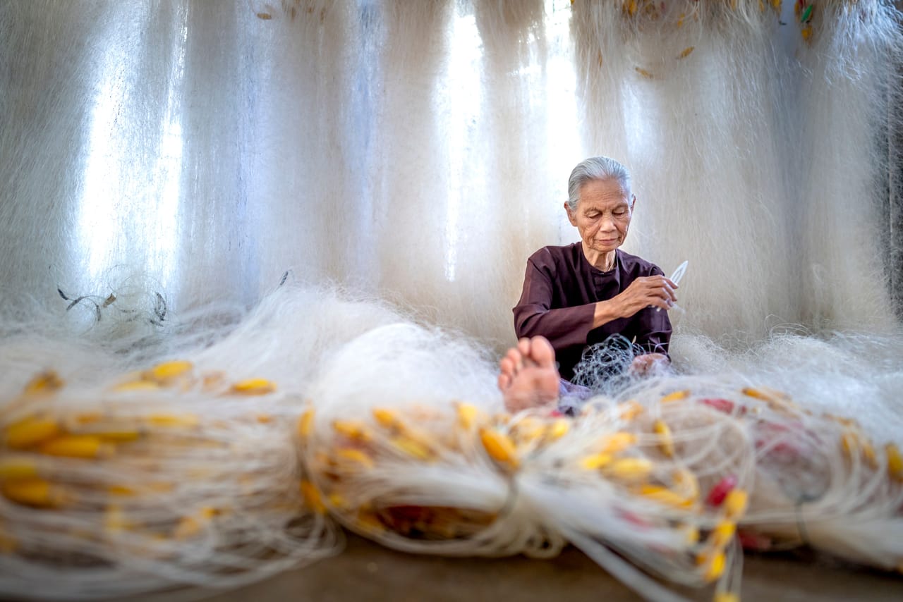
Half the pages online treat these as the same island. They are not. Ndana is the uninhabited scrap of land off Rote’s southern tip, the piece of ground that marks the southernmost point of Indonesia; it’s a boat run from the south coast, and nobody lives on it. Ndao is the opposite. Inhabited, a short crossing from Ba’a, it’s the island of the weavers and silversmiths who move seasonally over to Rote to sell their ikat and jewellery. Older guides spell it “Do’o” or blur it with “Dana.” When a source uses those names without saying which island it means, treat it with suspicion.
Savu runs on its own clock
Savu (also written Sabu) and its smaller sister Raijua form their own regency, Sabu Raijua, a place most people who live on Rote never set foot on. It’s dry, hard, and built around the lontar palm, whose sap feeds people through the lean months and shapes a culture different from Rote’s own. The island of Savu rewards the kind of visitor who can arrive with no fixed departure date and simply stay a while. Turn up for a day and you’ll spend it worrying about the boat home.
Semau and the islands near Kupang
Not everything worth reaching lies to the south. Semau sits in the strait between Kupang and Rote, close enough to Timor that it works as an easy overnight from the mainland rather than an expedition. It’s one of a handful of islands near Kupang that most long-stayers pass without a glance on the way to catch the Rote ferry. If you’re already treating Kupang as your resupply and transit base, Semau slots into a spare couple of days without much planning.
The season decides, not you
This is the part no travel guide will tell you, because none of them are paying for the tickets. The Savu Sea is not a lake. Open-water crossings to Savu and the outer islands depend entirely on wind and swell, and the monsoon rules the calendar with no regard for yours. Boats sit in port when the sea is up. A ticket bought is a ticket that might be refunded three mornings running.
Here is roughly how a normal year breaks down for anything that needs open water:
| Period | On the water | What’s realistic |
|---|---|---|
| April to June | winds easing after the rains, swell dropping off | the opening window for longer crossings to Savu and the small islands |
| July to September | dry and bright, but the southeast wind builds hard across exposed water | short hops are fine, longer crossings get bounced and cancelled |
| October to November | the flattest, calmest stretch of the year | the window locals use for anything ambitious |
| December to March | west monsoon, rain and unsettled sea | plan nothing that needs open water, the boats stay tied up |
The practical mechanics of the sailings, which port, which day, how often a run actually leaves, shift enough that you check locally before you commit. The honest overview of how to get to Savu Island starts from the same premise: the schedule is a suggestion, and the weather has the final say. Build your trip with a spare few days baked in and you’ll be fine. Build it tight and you’ll spend it in Kupang watching the wind.
This is exactly why these islands belong to long-stayers. Somebody down for a fortnight can’t afford to gamble half of it on a crossing that may not run. Somebody here for five months loses nothing by waiting for the flat week in October and going then.
The wider region, when you want more distance
Once you’ve accepted that travel out here moves at the pace of the sea, the map keeps widening. Sumba and the islands stretching toward Flores are within reach for anyone willing to string together ferries and short flights through Kupang. These are proper multi-week undertakings, worth taking when you’ve got a stretch of the dry season and no reason to hurry back. They’re the reward at the far end of patience, not a weekend away.
What lives in the water between them
The Savu Sea is the quiet headline: deep, current-driven water on the migration corridor for whales and other large marine life moving through the Indonesian throughflow, and the currents that make crossings unpredictable also feed it. Anyone curious about the Savu Sea and what moves through it finds a marine world most visitors never think to look for.
Closer to shore, the reefs around Rote and its neighbours carry the same isolated, Wallacea-edge character as the birdlife up top. Diving and snorkelling around East Nusa Tenggara turns up healthy coral and reef fish in places that see almost no divers, precisely because getting a boat out there on a settled day takes the kind of flexibility only a long stay allows.
What the months actually buy you
Add it up and the pattern is clear. Every island out here is reachable, and none of them is reachable on demand. The distances are modest. The obstacle is the sea, the schedule, and the days you have to be willing to write off.
Ndana off the southern tip, the weavers on Ndao, dry and self-contained Savu, easy Semau in the strait, the long haul toward Sumba: each one asks the same thing of you before it opens up, which is time you can afford to lose.
That’s why this is a page for people who live on Rote or stay for a season, and not for the fortnight crowd. The islands around Rote don’t run to anyone’s itinerary. They run to the weather. Wait out the wind, keep your calendar loose, and one flat morning in October you’ll find yourself on a boat crossing water most visitors never even hear about.
Sources
Footnotes
-
Geologia dell’area di Rote Island (Macrostrat). macrostrat.org ↩